Mystery GPS jammer in Iran becomes test for NASA satellites’ capabilities
NASA science satellites show dual use in locating sources of GPS interference.
NASA science satellites show dual use in locating sources of GPS interference.
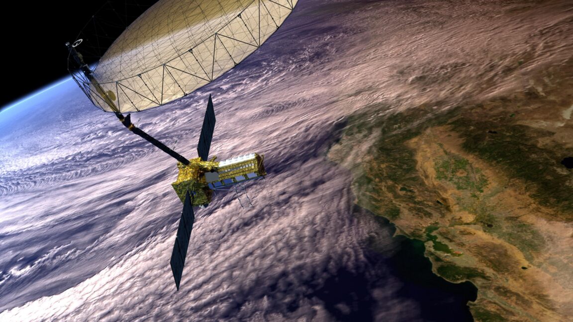
NASA satellites designed to observe cyclone wind speeds and collapsing ice sheets have also proven capable of identifying the approximate locations of GPS jammers. That could help monitor high-risk areas for aircraft and ships navigating the growing prevalence of GPS interference worldwide.
Two different NASA satellite systems showed how they could locate a known but mysterious GPS jammer within several kilometers of its position in Iran, according to an experiment by Sean Gorman, CEO and cofounder of the location-based technology company Zephr.xyz that was detailed in the magazine GPS World. Such jammers use strong signals to overpower the weaker radio signals coming from US-operated GPS satellites and other global navigation satellite systems.
Such NASA satellites cannot perform “near-real time monitoring” or pinpoint the exact location of GPS jammers, said Clara Chew, principal scientist and lead of the GNSS systems and data team at the California-based satellite manufacturer Muon Space, who was not involved in the study. But Chew told Ars that identifying the approximate locations of GPS jammers “could potentially be helpful for flight planning” or for “indicating high risk areas for maritime shipping.”
This story was first published by Ars Technica. Read the original report
We use cookies to run this site and, with your consent, to measure traffic and improve our content. Necessary cookies are always on. You can accept all cookies or choose which ones to allow. Privacy policy.